Every flight, recorded. Yours forever.
The simple, reliable flight recorder and planner for paramotor pilots. Free and open source. No account, no telemetry; your flights live on your devices, in open formats.
Download on the App Store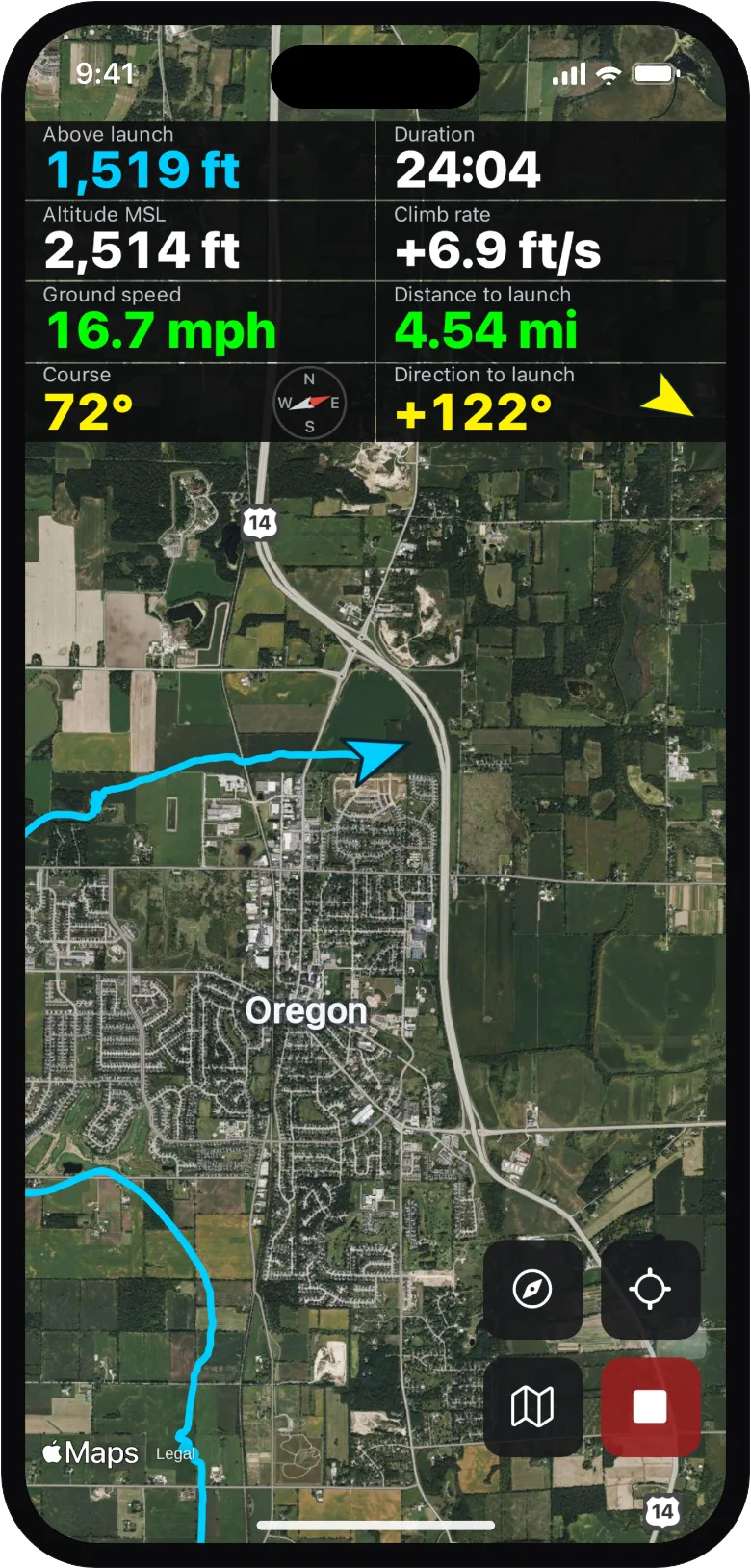
A flight deck built for the air
Numerals you can read in full sun, controls sized for gloves. Recording survives backgrounding, a locked screen, even an app crash: a started flight ends only when you land.
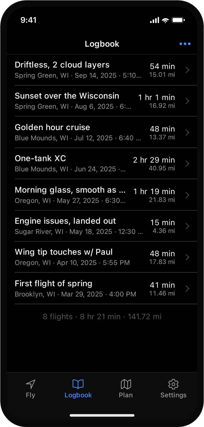
A logbook that keeps itself
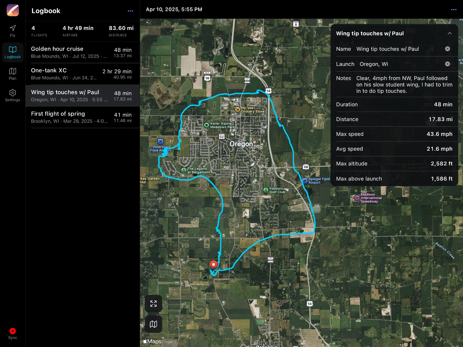
Land, and the flight is already filed: airtime, distance, and the launch it flew from. Name a field once and every future flight from it names itself. View your logbook on any device.
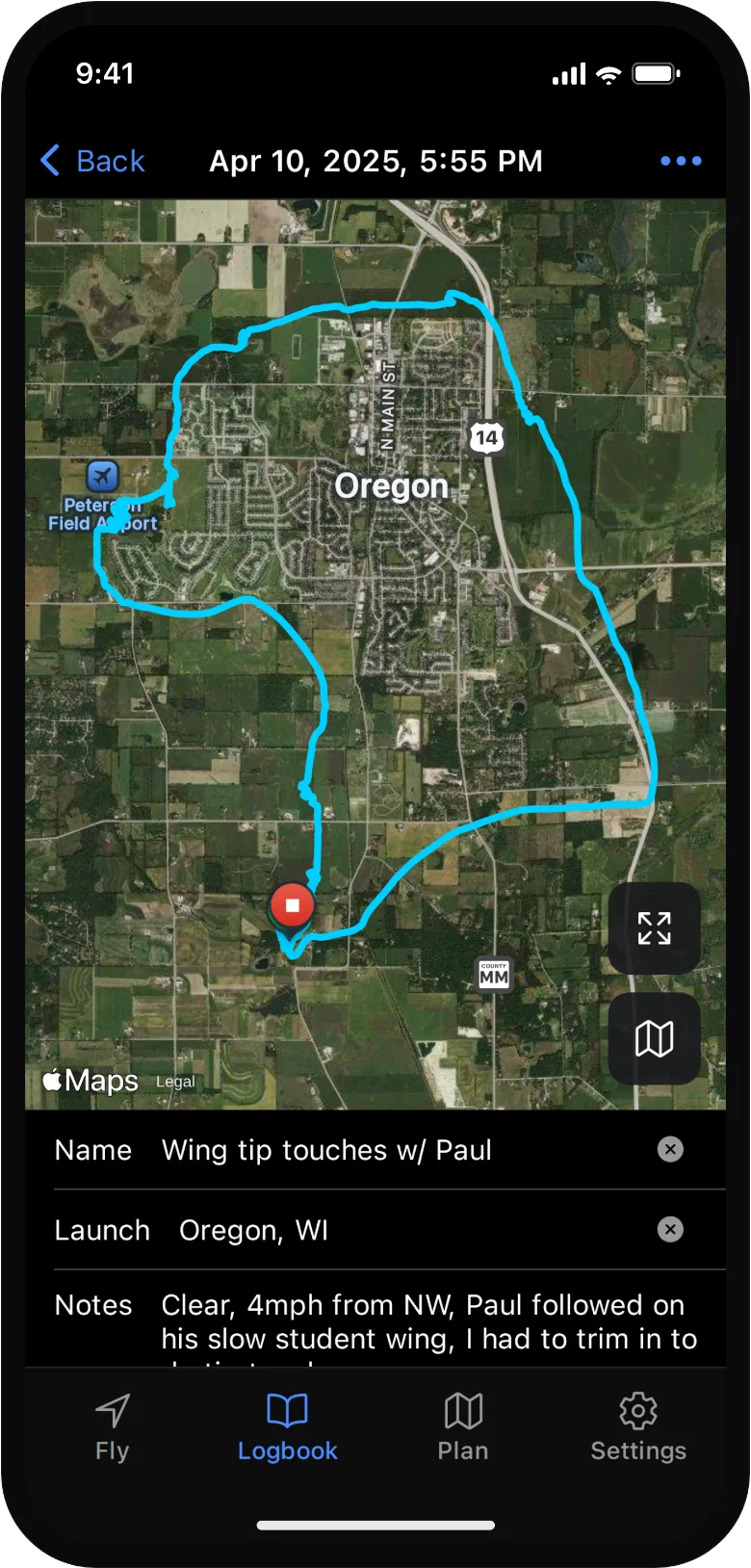
Every flight, mapped
The full track on streets or satellite, launch to landing, with the numbers that matter underneath. Export any flight as GPX, any time.
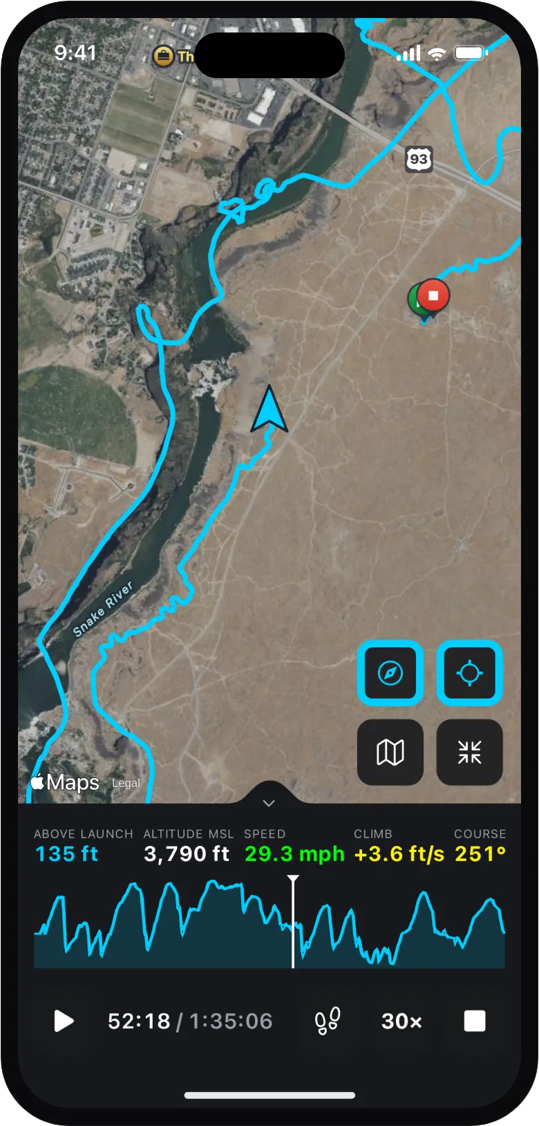
Relive every flight
Play any flight back on the map, scrub the altitude timeline, and relive every climb, turn, and glide.
Plan the next one
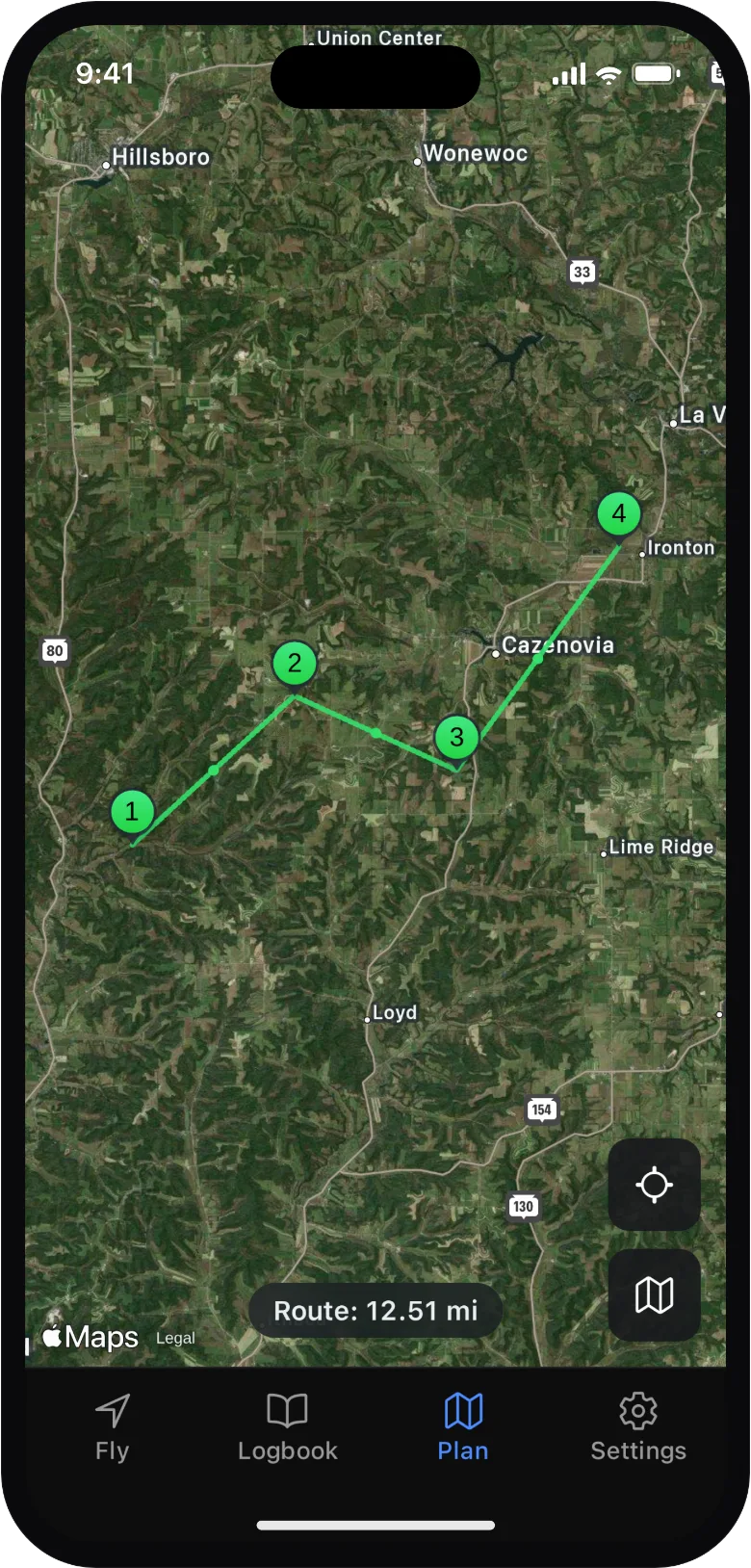
Drop pins for LZs, fuel stops and hazards. Start a flight and the plan comes along: numbered checkpoints, distance as you go.
Sync, if you want it
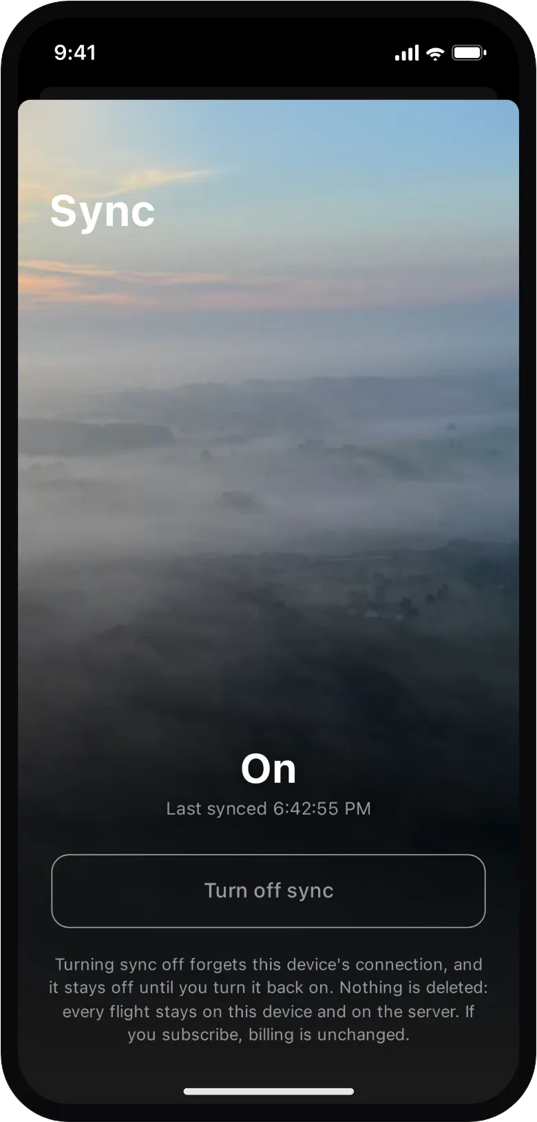
Off by default: your location never leaves your phone unless you turn sync on, and then only to the server you chose. Subscribe to back up flights and open them anywhere, or point Wingover at your own server for free.
Simple on purpose
No feeds, no leaderboards, no locked features, no forty-page settings. No account, nothing to configure, one tap to fly. Open source, so it stays that way.
Download on the App Store